Aerial Intelligence for Critical Assets

Keep Scrolling
Our Purpose

More Than a Drone Company

Altimar provides the aerial intelligence and data analysis needed to manage critical infrastructure and reduce operational risk.
Built for precision. Designed for accountability.
Learn More about Us
Our Integrated Ecosystem

Drone Operations

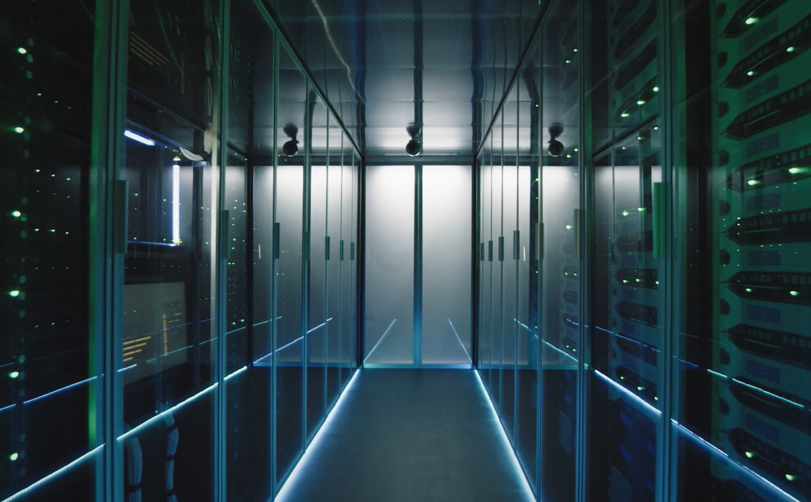
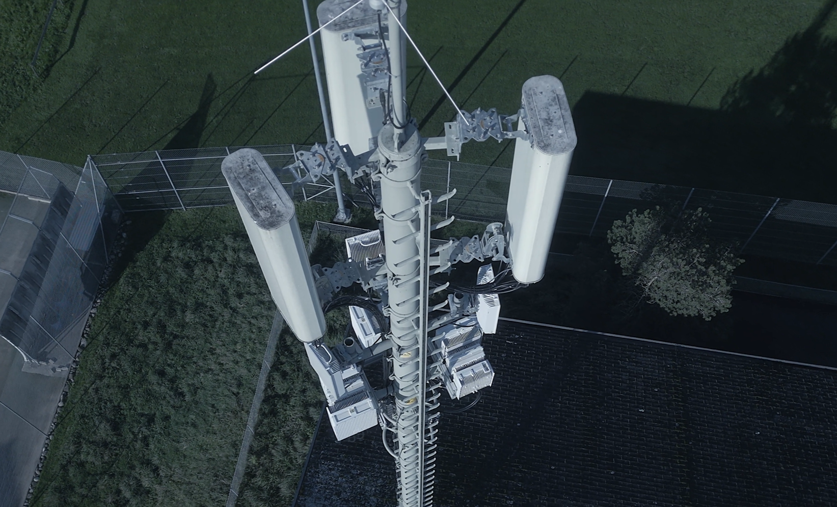
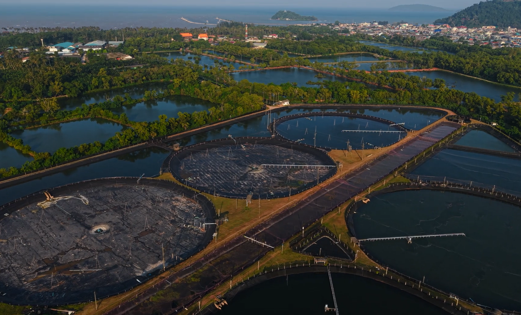
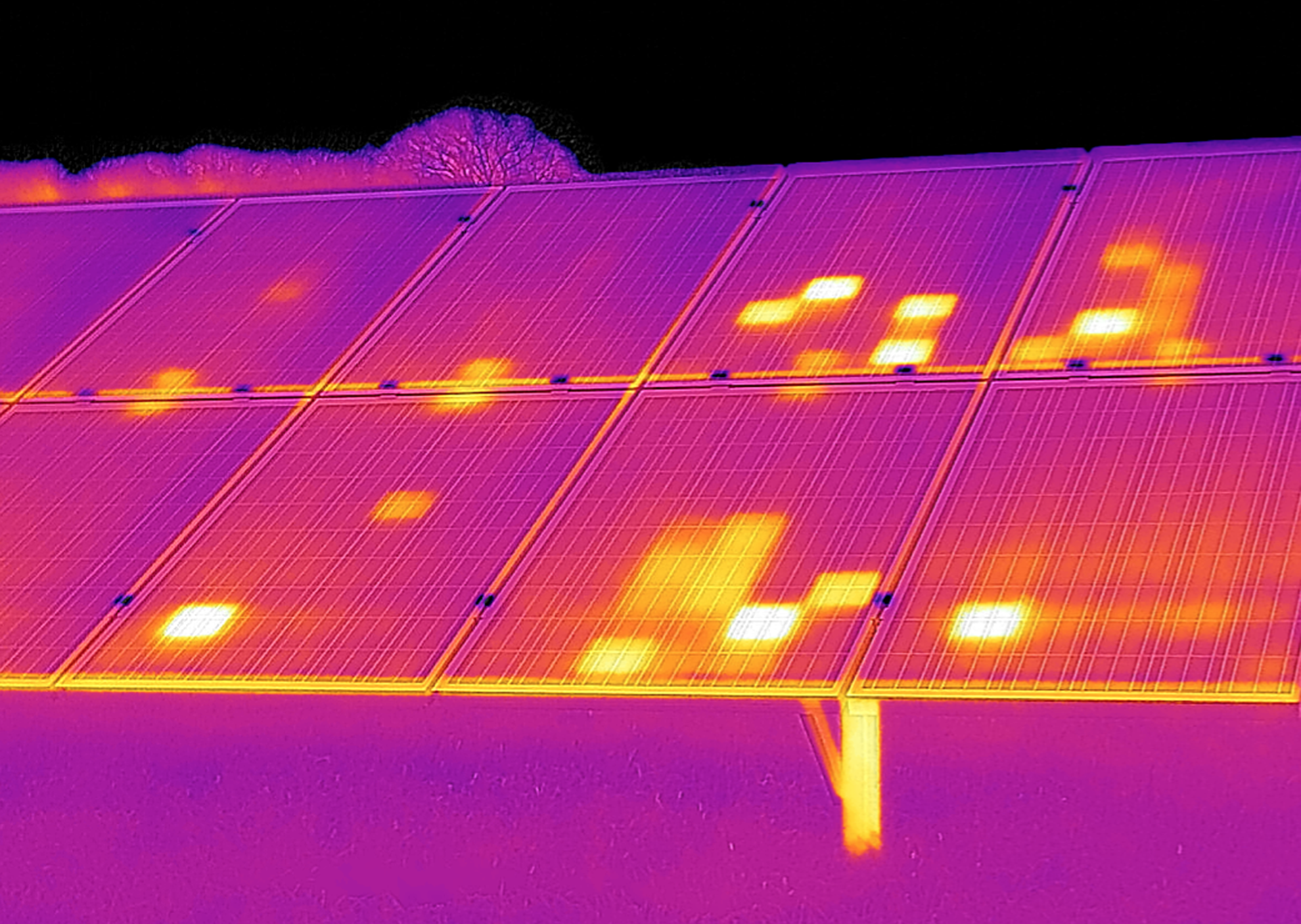
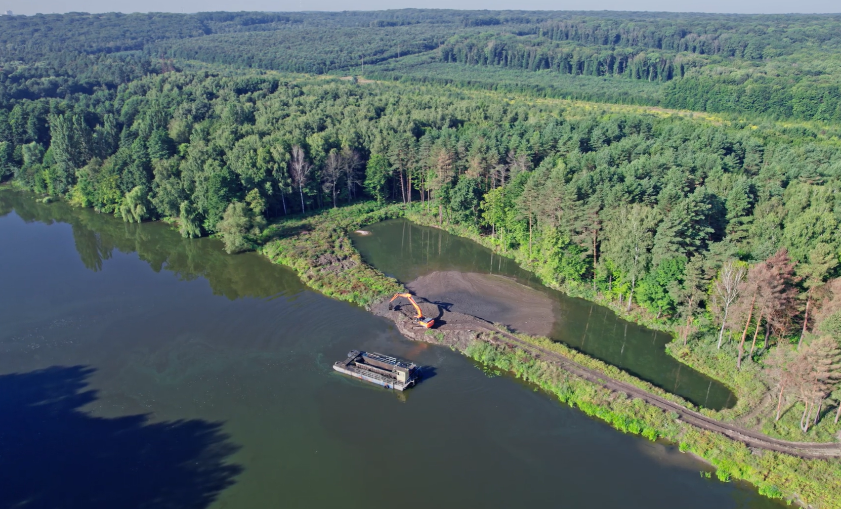
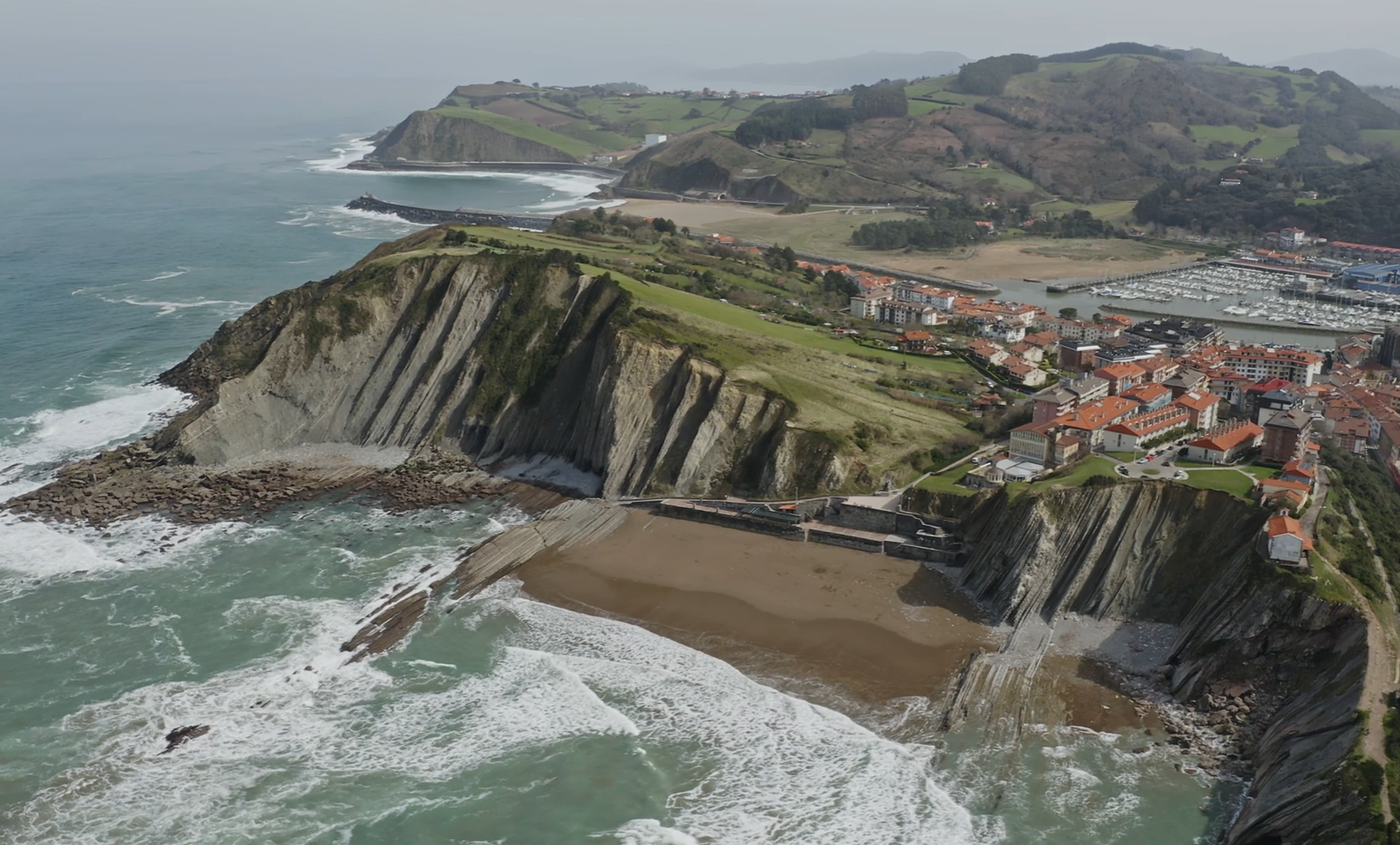
Deploy advanced sensors across industrial, coastal, and environmental sites — capturing high-resolution data without shutdowns, rope access, or unnecessary risk.
Corridor inside a data center with server racks on both sides illuminated by blue LED strips.
Our Integrated Ecosystem

Data Storage

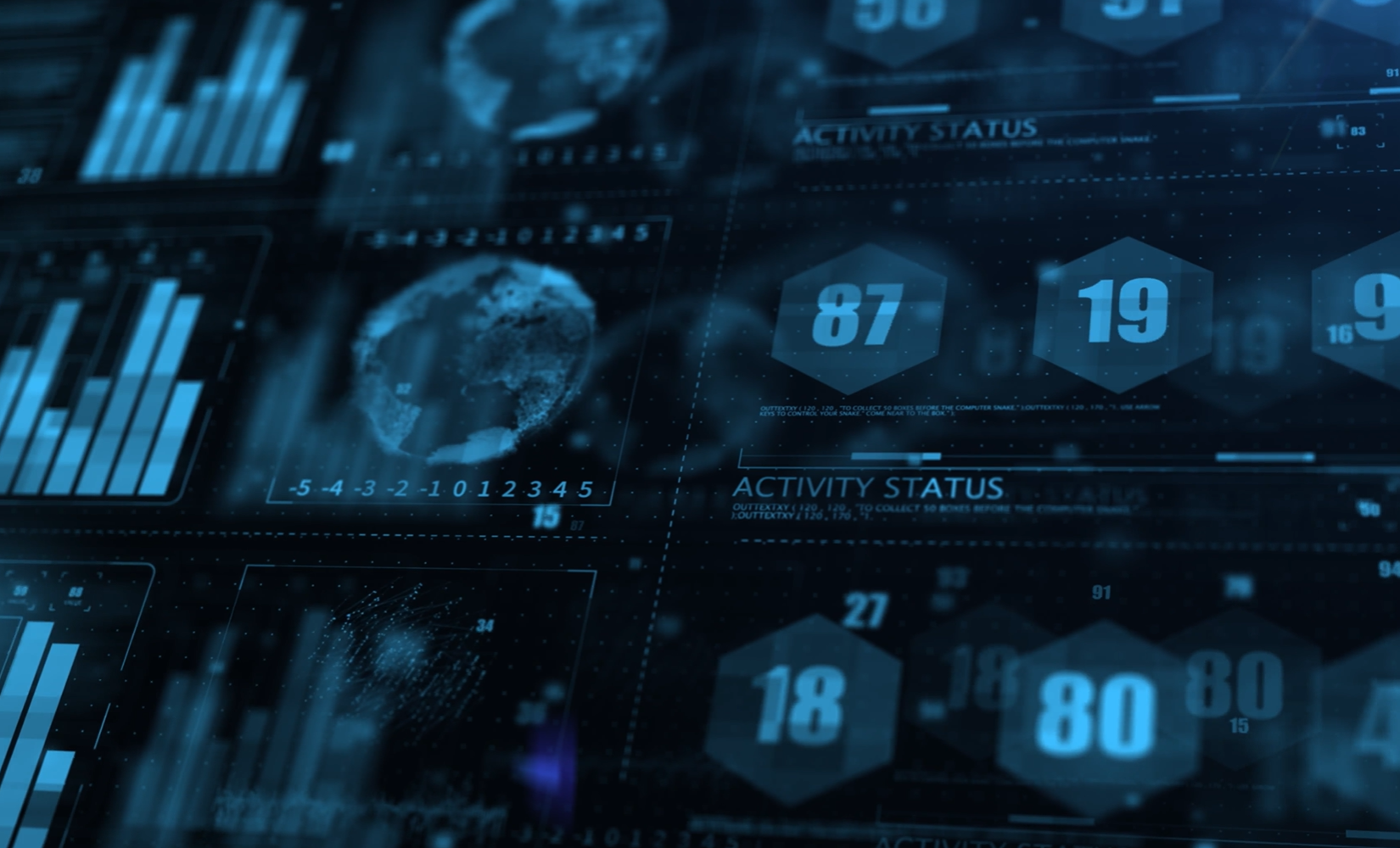
Every dataset secured, structured, and accessible through Altimar Vault — built for long-term comparison, compliance records, and audit-ready retrieval.
Futuristic digital interface with blue-toned charts, hexagonal numbers, and global data visuals.
Our Integrated Ecosystem

Data Insight

Turn complex datasets into visual intelligence through Altimar IQ — dashboards, overlays, and trend analysis that drive confident decisions.
Industries We Serve

Intelligence Built for Your Industry

Aerial view of a flat rooftop covered with multiple solar panels and air conditioning units.

Optimize Every Megawatt

Thermal and visual inspections that detect panel degradation, blade damage, and inverter faults — reducing downtime and maximising energy yield.
Aerial view of an industrial facility showing a large building with a weathered roof, connected piping, and machinery.

Build With Better Intelligence

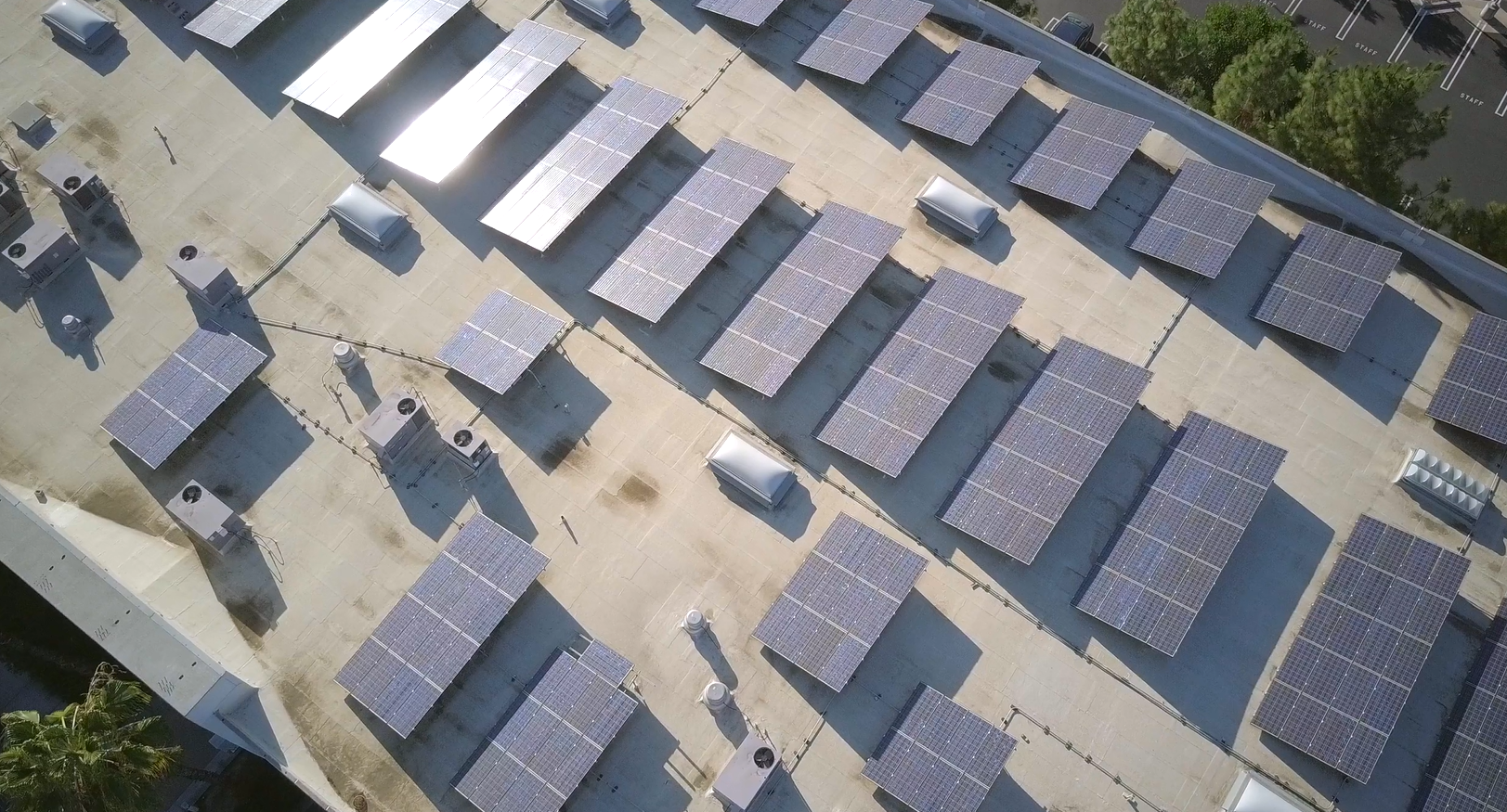
Detailed structural assessments for bridges, ports, warehouses, and industrial facilities — identifying deterioration before it becomes a safety or compliance issue.
Aerial view of a cellular tower with antennas and equipment mounted on it, surrounded by grass and fencing.

Verify Damage With Confidence

Independent aerial evidence for property claims, pre-risk underwriting, and post-event assessments — accelerating resolution with verifiable data.
Aerial view of large fish or shrimp farming ponds with surrounding vegetation and distant buildings near a coastline.

See Your Environment Clearly

Recurring aerial baselines that track vegetation recovery, erosion progression, and biodiversity indicators — supporting compliance reporting and restoration KPIs.
Industrial port facility with cranes and metal structures along a calm river under a clear sky.

Protect What Happens at the Water’s Edge

Shoreline erosion mapping, reef health monitoring, and aquaculture site assessments — delivering measurable coastal intelligence over time.
What We Do

Our Services Your Advantage

Black hexacopter drone flying over an industrial factory complex with multiple buildings and equipment.

Drone Inspections

Comprehensive aerial inspections using RGB and thermal sensors to identify faults before they become costly failures.
Learn More about Us
Drone flying over a green field with forest and snow-capped mountains in the background under a blue sky.

Aerial Mapping & Surveying

High-precision 2D maps and 3D models using RTK-enabled drones for survey-grade planning and measurement.
Learn More about Us
Thermal scan showing solar panels with multiple hot spots in yellow and white on a purple background.

Thermal Imaging

Radiometric thermal detection of heat loss, moisture ingress, and electrical hotspots invisible to the naked eye.
Learn More about Us
Aerial view of a lake beside dense forest with an excavator dredging near the shore and a floating barge in the water.

Environmental Monitoring

Recurring aerial data capture to track vegetation health, erosion, and biodiversity trends over time.
Learn More about Us
Aerial view of cliffs and a sandy beach with waves, adjacent to a coastal town with red-roofed buildings and a marina.

Coastal & Marine Assessments

Specialised drone assessments for shoreline monitoring, reef health analysis, and marine infrastructure condition.
Learn More about Us
3D digital visualization of floating blue and red code snippets and data points connected by dotted lines on a dark blue background.

Data Processing & Reporting

From raw data to decision-ready intelligence — clear reports, maps, and dashboards built for long-term insight.
Learn More about Us
Altimar Solutions Logo
AERIAL INTELLINGENCE
Start a Project